


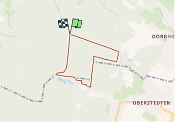

4.9 km | 6.9 km-effort

Tous les sentiers balisés d’Europe GUIDE+


FREE GPS app for hiking
 SityTrail
IGN / Geographical institutes
SityTrail World
The world is yours!
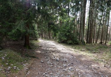
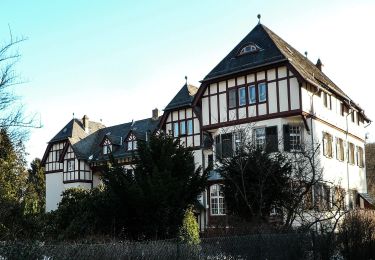
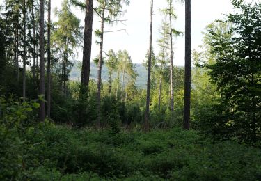
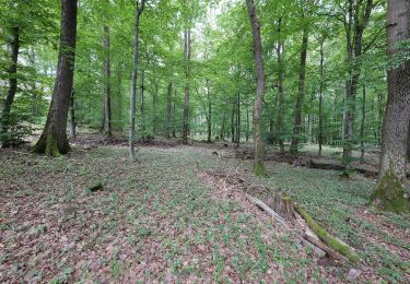
Trail On foot of 5.1 km to be discovered at Hesse, Hochtaunuskreis, Bad Homburg vor der Höhe. This trail is proposed by SityTrail - itinéraires balisés pédestres.
Trail created by Naturpark Hochtaunus.
Symbol: Rehbockkopf rot auf weißem Grund


On foot
On foot

On foot
On foot
On foot
On foot
On foot
On foot

Walking